GIS Data
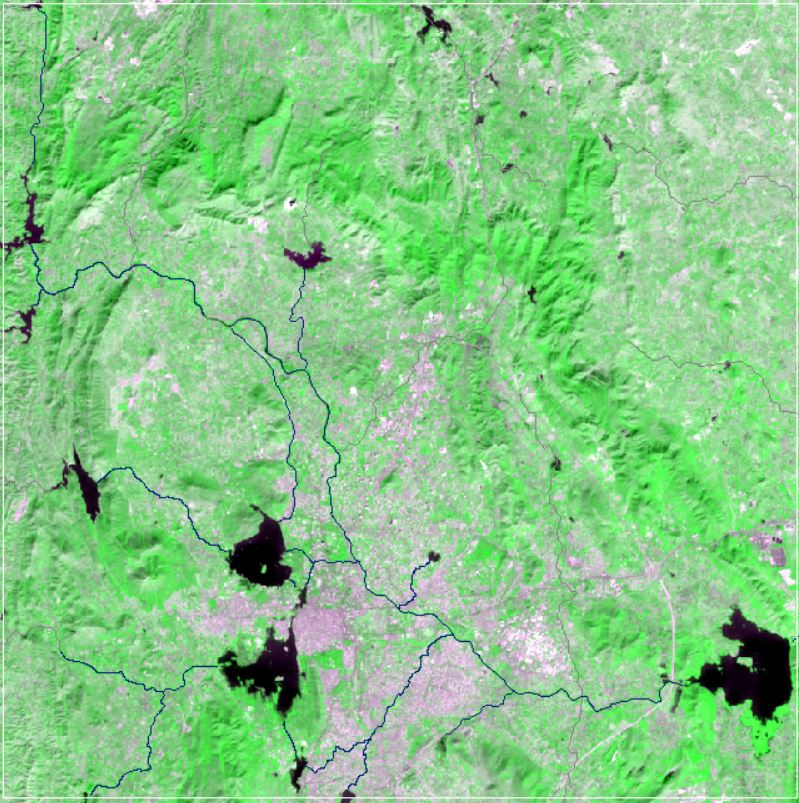
Landsat, a joint program of the USGS and NASA, has been observing the Earth continuously from 1972 through the present day. Today the Landsat satellites image the entire Earth's surface at a 30-meter resolution about once every two weeks, including multispectral and thermal data.
GIS Layers
- Administrative
- District Wise Catchment Area Download Files Now!
- Rajasthan Distric Boundary Download Files Now!
- Study Area Districts Download Files Now!
- TehsilBoundary Download Files Now!
- Udaipur MC_Ward 2011_Population Download Files Now!
- Udaipur MC_Ward2019 Download Files Now!
- Udaipur Municipal Corporation Boundary Download Files Now!
- Udaipur Tehsil Download Files Now!
- Village Boundary Download Files Now!
-
Basemap - Location Download Files Now!
- Roads Download Files Now!
- Village_Locations Download Files Now!
-
Basin Boundary - Watershed_Bigod Download Files Now!
-
Drainage Network - Drainage Network Download Files Now!
- Drainage Network_Clip Download Files Now!
-
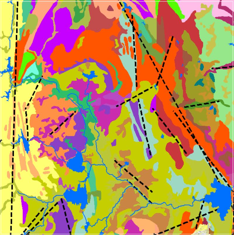
Geology - Deposits Download Files Now!
- Lineaments Download Files Now!
- Lithology Download Files Now!
-
Ground Water
- GW_Quality_2011_2018_FourDistrict Download Files Now!
- GW_DTWL_Data_2011_2020_WRT_Topography Download Files Now!
Hydrometeorology - SensorsInstallationLocations Download Files Now!
- RainGauge_Stations Download Files Now!
- Chittorgarh_DischargeLocation Download Files Now!
- Bigod_DischargeLocation Download Files Now!
LandUse_LandCover - LULC_2011 Download Files Now!
- LULC_2021 Download Files Now!
River Infrastructure - DamLocations_Udaipur Download Files Now!
- CS_Survey_CrossSectionsPoints Download Files Now!
- CS_Chainages Download Files Now!
- CS_SurveyRiverAlignment Download Files Now!
- CS_SurveyCrossSections Download Files Now!
Soil Texture - SoilTextures Download Files Now!
- Udaipur_Soil Download Files Now!
Water Features - WaterBodies_Locations Download Files Now!
- Canals Download Files Now!
- Reservoir Download Files Now!
Related images
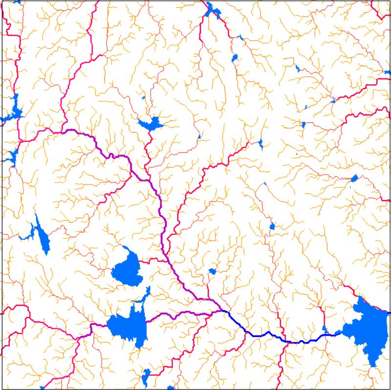
Drainage Network
View more
16 Oct 2020
Drainage Network
Perfumes
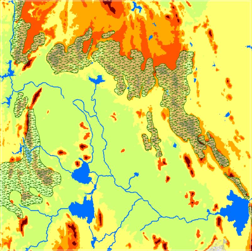
Geomorphology
12 Oct 2020
Geomorphology
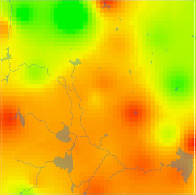
NDVI Vegetation Indices
View more
8 Oct 2020
NDVI Vegetation Indices
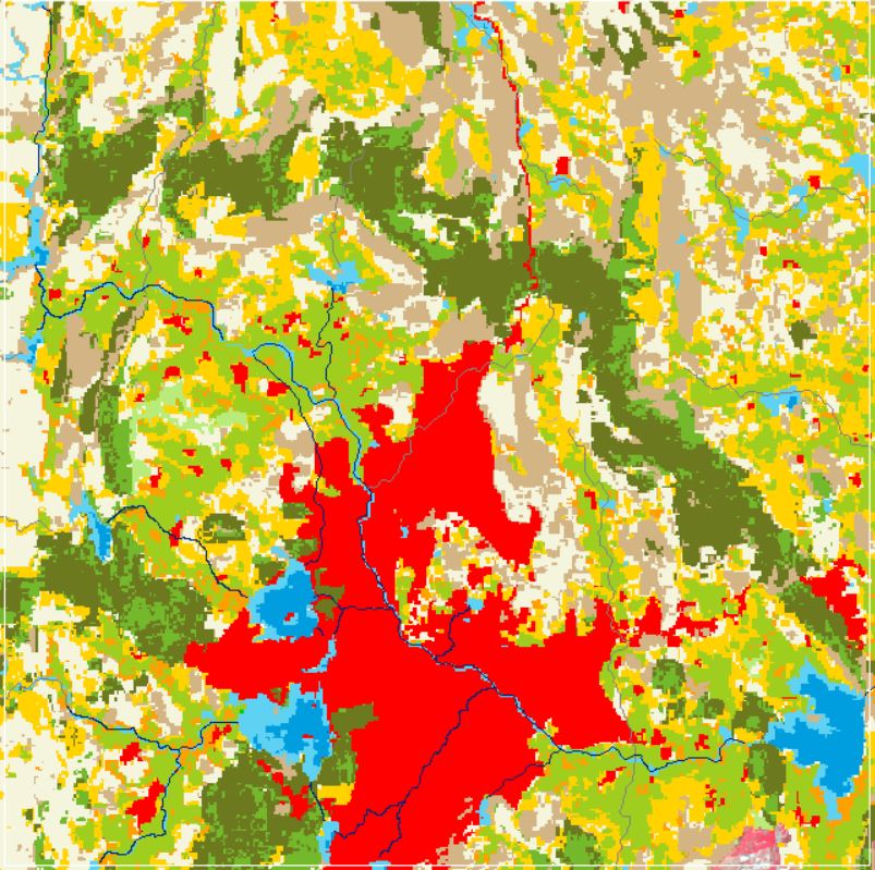
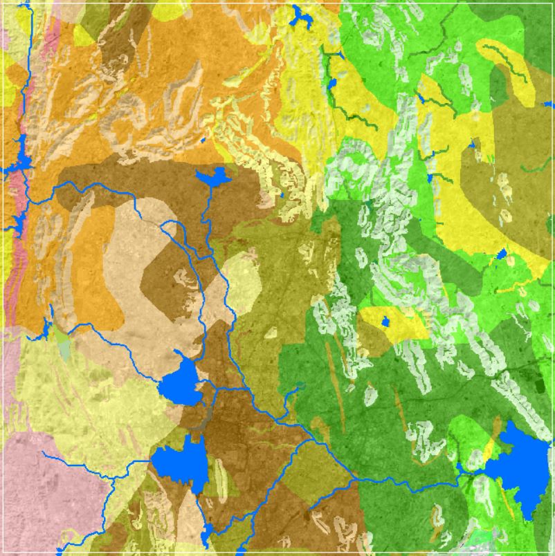
Land Use and Land Cover
View more
6 Oct 2020
Land Use and Land Cover
Landforms
View more
26 Sep 2020
Landforms
GW DTWL Data
View more
22 Sep 2020
GW DTWL Data
Soil Texture Data
View more
12 Sep 2020
Soil Texture Data
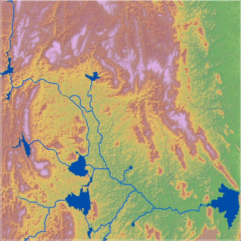
SRTM Digital Elevation Model
View more
4 Sep 2020
SRTM Digital Elevation Model